
소사동 topographic map
Interactive map
Click on the map to display elevation.
About this map
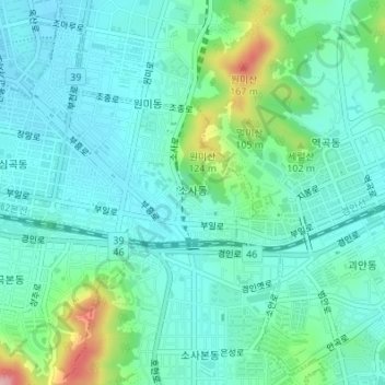
Name: 소사동 topographic map, elevation, terrain.
Location: 소사동, 부천시, Gyeonggi, Coreia do Sul (37.48290 126.78982 37.48988 126.80114)
Average elevation: 49 m
Minimum elevation: 13 m
Maximum elevation: 177 m