
Nelson Mandela Bay Ward 56 topographic map
Interactive map
Click on the map to display elevation.
About this map
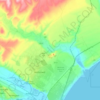
Name: Nelson Mandela Bay Ward 56 topographic map, elevation, terrain.
Average elevation: 73 m
Minimum elevation: -3 m
Maximum elevation: 229 m