
Quinns topographic map
Interactive map
Click on the map to display elevation.
About this map
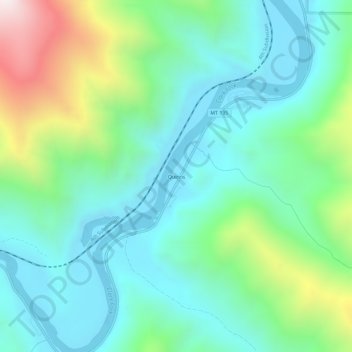
Name: Quinns topographic map, elevation, terrain.
Location: Quinns, Sanders County, Montana, 59856, USA (47.30257 -114.82106 47.34257 -114.78106)
Average elevation: 1,053 m
Minimum elevation: 750 m
Maximum elevation: 1,933 m