
Lokoti topographic map
Interactive map
Click on the map to display elevation.
About this map
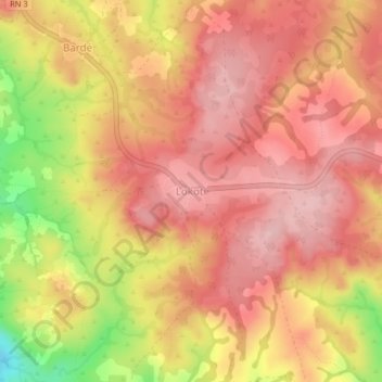
Name: Lokoti topographic map, elevation, terrain.
Location: Lokoti, Nana-Mambéré, Central African Republic (5.77176 14.99482 5.81176 15.03482)
Average elevation: 1,016 m
Minimum elevation: 899 m
Maximum elevation: 1,070 m