
Se topographic map
Interactive map
Click on the map to display elevation.
About this map
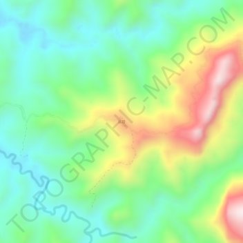
Name: Se topographic map, elevation, terrain.
Location: Se, Long District, Luang Namtha, Laos (21.09093 100.75848 21.13093 100.79848)
Average elevation: 737 m
Minimum elevation: 528 m
Maximum elevation: 1,143 m