
Talle topographic map
Interactive map
Click on the map to display elevation.
About this map
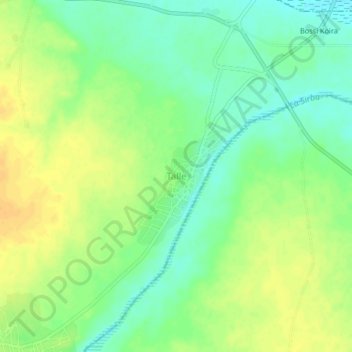
Name: Talle topographic map, elevation, terrain.
Location: Talle, Téra, Tillabéri Region, Niger (13.74163 1.60764 13.78163 1.64764)
Average elevation: 202 m
Minimum elevation: 187 m
Maximum elevation: 216 m