
Lucapa topographic map
Interactive map
Click on the map to display elevation.
About this map
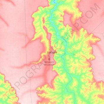
Name: Lucapa topographic map, elevation, terrain.
Location: Lucapa, Lunda Norte Province, Angola (-8.57952 20.58109 -8.25952 20.90109)
Average elevation: 894 m
Minimum elevation: 743 m
Maximum elevation: 980 m