
Fort Benjamin Harrison State Park and Nature Preserve topographic map
Interactive map
Click on the map to display elevation.
About this map
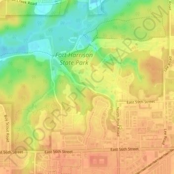
Name: Fort Benjamin Harrison State Park and Nature Preserve topographic map, elevation, terrain.
Average elevation: 254 m
Minimum elevation: 227 m
Maximum elevation: 268 m
Other topographic maps
Click on a map to view its topography, its elevation and its terrain.