
Puerto Asís topographic map
Interactive map
Click on the map to display elevation.
About this map
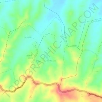
Name: Puerto Asís topographic map, elevation, terrain.
Location: Puerto Asís, Los Palmitos, Montes de María, Sucre, Colombia (9.43337 -75.14389 9.45125 -75.13376)
Average elevation: 183 m
Minimum elevation: 148 m
Maximum elevation: 234 m