
Bödele topographic map
Interactive map
Click on the map to display elevation.
About this map
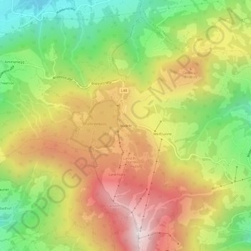
Name: Bödele topographic map, elevation, terrain.
Average elevation: 1,027 m
Minimum elevation: 621 m
Maximum elevation: 1,452 m
Der Losenpass verbindet auf einer Meereshöhe von 1.139 Meter die Talschaften Rheintal und Bregenzerwald. Die höchste Erhebung im Bödelegebiet ist der Hochälpelekopf mit einer Höhe von 1464 m.