
Shelbyville topographic map
Interactive map
Click on the map to display elevation.
About this map
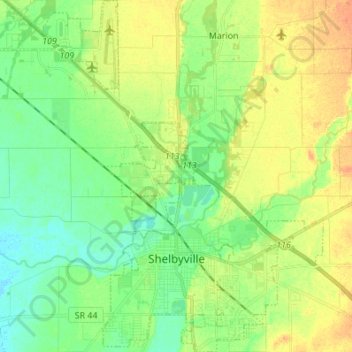
Name: Shelbyville topographic map, elevation, terrain.
Location: Shelbyville, Shelby County, Indiana, United States (39.49344 -85.82861 39.59875 -85.72003)
Average elevation: 240 m
Minimum elevation: 224 m
Maximum elevation: 261 m
Other topographic maps
Click on a map to view its topography, its elevation and its terrain.