
دير الزين topographic map
Interactive map
Click on the map to display elevation.
About this map
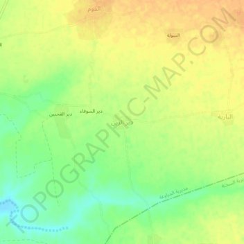
Name: دير الزين topographic map, elevation, terrain.
Location: دير الزين, مديرية المراوعة, محافظة الحديدة, Iémen (14.79662 43.24301 14.83662 43.28301)
Average elevation: 98 m
Minimum elevation: 79 m
Maximum elevation: 111 m