
Peam Chi Kang topographic map
Interactive map
Click on the map to display elevation.
About this map
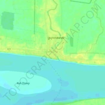
Name: Peam Chi Kang topographic map, elevation, terrain.
Location: Peam Chi Kang, Kampong Cham, Cambodia (11.92504 105.24945 11.96504 105.28945)
Average elevation: 11 m
Minimum elevation: 3 m
Maximum elevation: 21 m