
Thank you for supporting this site ❤️
Make a donation
Make a donation
Gear up for your next adventure:
As an Amazon Associate, this site earns from qualifying purchases at no extra cost to you.
Kunkuri topographic map
Click on the map to display elevation.
Thank you for supporting this site ❤️
Make a donation
Make a donation
Gear up for your next adventure:
As an Amazon Associate, this site earns from qualifying purchases at no extra cost to you.
About this map
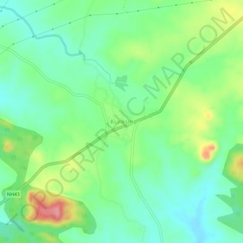
Name: Kunkuri topographic map, elevation, terrain.
Location: Kunkuri, Kunkuri Tahsil, Jashpur, Chhattisgarh, 496225, India (22.72199 83.92950 22.76199 83.96950)
Average elevation: 478 m
Minimum elevation: 443 m
Maximum elevation: 546 m
Thank you for supporting this site ❤️
Make a donation
Make a donation
Gear up for your next adventure:
As an Amazon Associate, this site earns from qualifying purchases at no extra cost to you.