
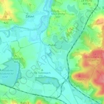
Putim topographic map
Interactive map
Click on the map to display elevation.
About this map
Name: Putim topographic map, elevation, terrain.
Location: Putim, okres Písek, Jihočeský kraj, Jihozápad, Tcheca (49.24519 14.08560 49.27923 14.15101)
Average elevation: 385 m
Minimum elevation: 362 m
Maximum elevation: 447 m