
Njoro topographic map
Interactive map
Click on the map to display elevation.
About this map
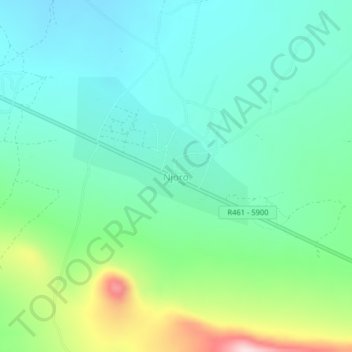
Name: Njoro topographic map, elevation, terrain.
Location: Njoro, Kiteto, Manyara, Northern Zone, Tanzania (-5.27543 36.43540 -5.23543 36.47540)
Average elevation: 1,577 m
Minimum elevation: 1,492 m
Maximum elevation: 1,823 m