
Las Peñas topographic map
Interactive map
Click on the map to display elevation.
About this map
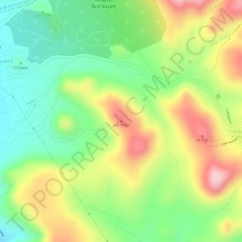
Name: Las Peñas topographic map, elevation, terrain.
Location: Las Peñas, Cerro de San Pedro, San Luis Potosí, México (22.18395 -100.81041 22.18405 -100.81031)
Average elevation: 1,993 m
Minimum elevation: 1,900 m
Maximum elevation: 2,101 m