
Gymea topographic map
Interactive map
Click on the map to display elevation.
About this map
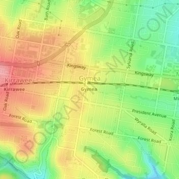
Name: Gymea topographic map, elevation, terrain.
Location: Gymea, Sydney, Sutherland Shire Council, 2227, Australia (-34.04827 151.07319 -34.02346 151.09384)
Average elevation: 58 m
Minimum elevation: 2 m
Maximum elevation: 110 m