
Punat topographic map
Interactive map
Click on the map to display elevation.
About this map
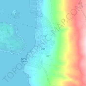
Name: Punat topographic map, elevation, terrain.
Location: Punat, Primorje-Gorski Kotar County, Croatia (45.00897 14.62283 45.02565 14.63607)
Average elevation: 69 m
Minimum elevation: -3 m
Maximum elevation: 257 m