
Wheelock topographic map
Interactive map
Click on the map to display elevation.
About this map
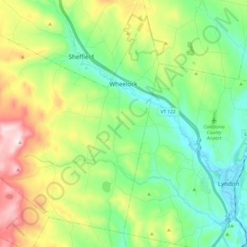
Name: Wheelock topographic map, elevation, terrain.
Average elevation: 412 m
Minimum elevation: 206 m
Maximum elevation: 841 m
The highest point in town is Wheelock Mountain, with an elevation of 2,782 feet (848 m).