
Torrey topographic map
Interactive map
Click on the map to display elevation.
About this map
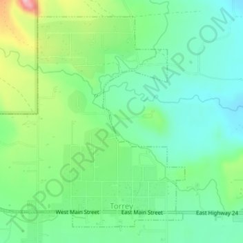
Name: Torrey topographic map, elevation, terrain.
Location: Torrey, Wayne County, Utah, États-Unis d'Amérique (38.29738 -111.44152 38.32080 -111.41150)
Average elevation: 2,090 m
Minimum elevation: 2,032 m
Maximum elevation: 2,219 m