
Quinton topographic map
Interactive map
Click on the map to display elevation.
About this map
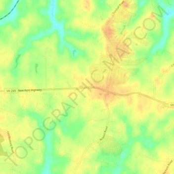
Name: Quinton topographic map, elevation, terrain.
Location: Quinton, New Kent County, Virginia, 23141, United States (37.51375 -77.14108 37.55375 -77.10108)
Average elevation: 39 m
Minimum elevation: 16 m
Maximum elevation: 54 m
Other topographic maps
Click on a map to view its topography, its elevation and its terrain.