
Cervatos topographic map
Interactive map
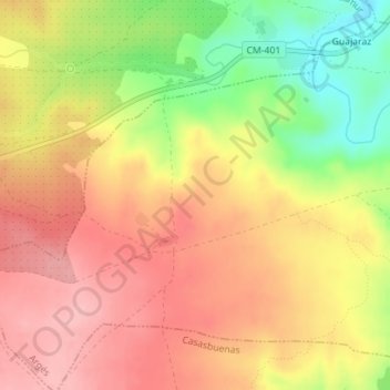
Click on the map to display elevation.
About this map
Name: Cervatos topographic map, elevation, terrain.
Location: Cervatos, Argés, Toledo, Castilla-La Mancha, 45123, España (39.79550 -4.11801 39.81550 -4.09801)
Average elevation: 627 m
Minimum elevation: 548 m
Maximum elevation: 679 m