
Jita topographic map
Interactive map
Click on the map to display elevation.
About this map
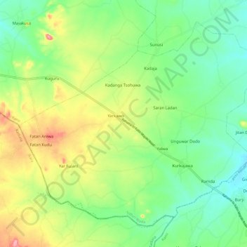
Name: Jita topographic map, elevation, terrain.
Location: Jita, Tudun Wada, Kano State, Nigeria (11.15821 8.44752 11.25027 8.56079)
Average elevation: 606 m
Minimum elevation: 560 m
Maximum elevation: 686 m