
东寨村 topographic map
Interactive map
Click on the map to display elevation.
About this map
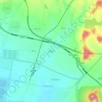
Name: 东寨村 topographic map, elevation, terrain.
Location: 东寨村, 林州市, 安阳市, 河南省, 中国 (36.13109 113.85069 36.17109 113.89069)
Average elevation: 321 m
Minimum elevation: 276 m
Maximum elevation: 440 m
Other topographic maps
Click on a map to view its topography, its elevation and its terrain.