
Bobrovec topographic map
Interactive map
Click on the map to display elevation.
Bobrovec
The municipality lies at an altitude of 634 metres and covers an area of 31.132 km². It has a population of about 1775 people.
About this map
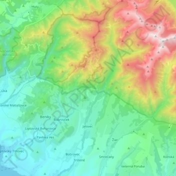
Name: Bobrovec topographic map, elevation, terrain.
Average elevation: 1,013 m
Minimum elevation: 555 m
Maximum elevation: 2,156 m