
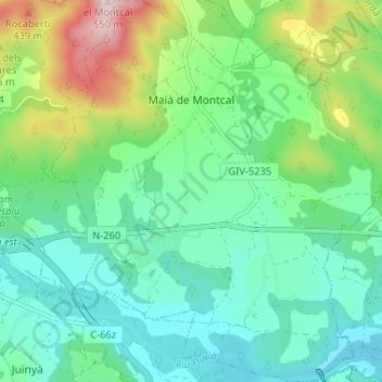
Maià de Montcal topographic map
Interactive map
Click on the map to display elevation.
About this map
Name: Maià de Montcal topographic map, elevation, terrain.
Location: Maià de Montcal, Garrotxa, Gérone, Catalogne, 17851, Espagne (42.18650 2.71919 42.23463 2.77918)
Average elevation: 216 m
Minimum elevation: 102 m
Maximum elevation: 529 m
Other topographic maps
Click on a map to view its topography, its elevation and its terrain.
la Vall de Bianya
Espagne > Catalogne > Garrotxa
la Vall de Bianya, Garrotxa, Gérone, Catalogne, 17813, Espagne
Average elevation: 722 m