
Merevale Lake topographic map
Interactive map
Click on the map to display elevation.
About this map
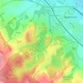
Name: Merevale Lake topographic map, elevation, terrain.
Average elevation: 119 m
Minimum elevation: 71 m
Maximum elevation: 180 m
Other topographic maps
Click on a map to view its topography, its elevation and its terrain.
Mancetter CP
United Kingdom > England > Warwickshire > North Warwickshire > Atherstone
Average elevation: 112 m