
Chiangmuan Lignite Mine Scenic Point topographic map
Interactive map
Click on the map to display elevation.
About this map
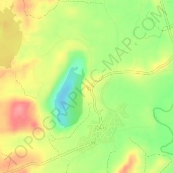
Name: Chiangmuan Lignite Mine Scenic Point topographic map, elevation, terrain.
Average elevation: 276 m
Minimum elevation: 220 m
Maximum elevation: 321 m