
Mandritsara topographic map
Interactive map
Click on the map to display elevation.
About this map
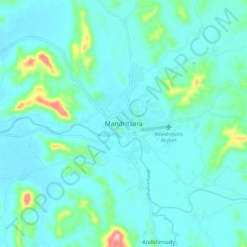
Name: Mandritsara topographic map, elevation, terrain.
Location: Mandritsara, Sofia Region, Province de Mahajanga, Madagascar (-15.88432 48.78389 -15.80432 48.86389)
Average elevation: 323 m
Minimum elevation: 289 m
Maximum elevation: 533 m
Other topographic maps
Click on a map to view its topography, its elevation and its terrain.