
东凌乡 topographic map
Interactive map
Click on the map to display elevation.
About this map
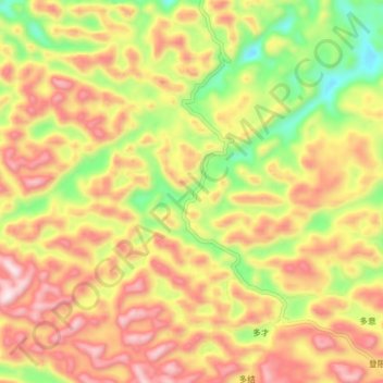
Name: 东凌乡 topographic map, elevation, terrain.
Location: 东凌乡, 百色市, 德保县, 广西壮族自治区, 中国 (23.52472 106.29889 23.60472 106.37889)
Average elevation: 811 m
Minimum elevation: 484 m
Maximum elevation: 1,104 m