
Durant topographic map
Interactive map
Click on the map to display elevation.
About this map
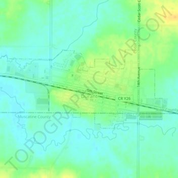
Name: Durant topographic map, elevation, terrain.
Location: Durant, Cedar County, Iowa, 552747, United States of America (41.59443 -90.93372 41.60742 -90.89447)
Average elevation: 215 m
Minimum elevation: 205 m
Maximum elevation: 232 m