
Loma topographic map
Interactive map
Click on the map to display elevation.
About this map
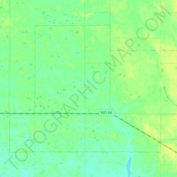
Name: Loma topographic map, elevation, terrain.
Location: Loma, Cavalier County, Dakota del Norte, Estados Unidos (48.60861 -98.60107 48.68132 -98.44861)
Average elevation: 481 m
Minimum elevation: 473 m
Maximum elevation: 493 m