Geolocate

荷包岛 topographic map

Interactive map

Click on the map to display elevation.

About this map

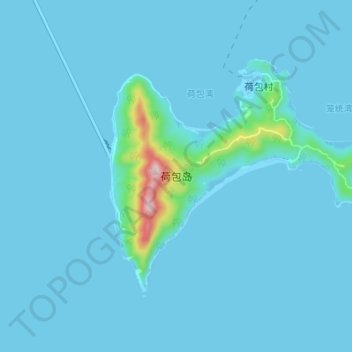
Name: 荷包岛 topographic map, elevation, terrain.

Location: 荷包岛, 珠海市, 金湾区, 广东省, 中国 (21.83514 113.13066 21.87770 113.19905)

Average elevation: 18 m

Minimum elevation: -2 m

Maximum elevation: 340 m

Other topographic maps

Click on a map to view its topography, its elevation and its terrain.

珠海市

中国 > 广东省 > 珠海市

珠海市, 狮山街道, 珠海市, 广东省, 519015, 中国

Average elevation: 20 m

会同古村

中国 > 广东省 > 珠海市

会同古村, 珠海市, 广东省, 519087, 中国

Average elevation: 38 m

大杧島

中国 > 广东省 > 珠海市

大杧島, 金湾区, 珠海市, 广东省, 中国

Average elevation: 20 m

斗门区

中国 > 广东省 > 珠海市 > 旧村

斗门区, 旧村, 珠海市, 广东省, 中国

Average elevation: 13 m

金湾区

中国 > 广东省 > 珠海市

金湾区, 珠海市, 广东省, 中国

Average elevation: 6 m

斗门区

中国 > 广东省 > 珠海市

斗门区, 珠海市, 广东省, 中国

Average elevation: 25 m