Avon topographic map
Interactive map
Click on the map to display elevation.
About this map
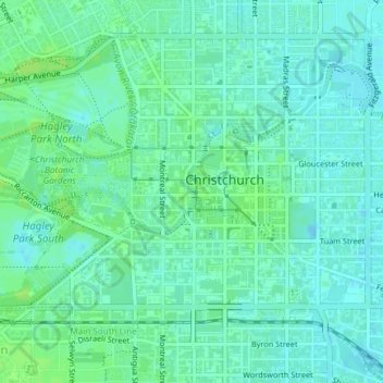
Name: Avon topographic map, elevation, terrain.
Location: Avon, Christchurch, Canterbury, 8011, New Zealand (-43.53195 172.63346 -43.53167 172.63359)
Average elevation: 11 m
Minimum elevation: 6 m
Maximum elevation: 16 m
Other topographic maps
Click on a map to view its topography, its elevation and its terrain.
Hornby
New Zealand > Canterbury > Christchurch
Hornby, Curletts Road, Sockburn, Christchurch, Christchurch City, Canterbury, 8443, New Zealand
Average elevation: 28 m
Aston Reserve
New Zealand > Canterbury > Christchurch
Aston Reserve, Waimairi Beach, Christchurch, Coastal-Burwood Community, Christchurch City, Canterbury, New Zealand
Average elevation: 3 m
Scarborough Beach
New Zealand > Canterbury > Christchurch
Scarborough Beach, Sumner, Christchurch, Christchurch City, Canterbury, New Zealand
Average elevation: 44 m
Central City
New Zealand > Canterbury > Christchurch
Central City, Alexandra Street, Richmond, Christchurch, Christchurch City, Canterbury, 8013, New Zealand
Average elevation: 11 m