
Longwood topographic map
Interactive map
Click on the map to display elevation.
About this map
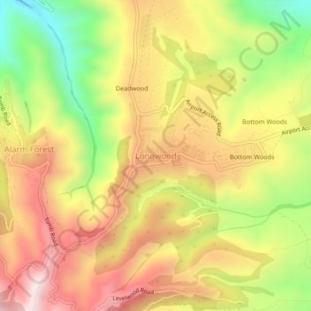
Name: Longwood topographic map, elevation, terrain.
Location: Longwood, Saint Helena, STHL 1ZZ, Saint Helena (-15.96933 -5.70586 -15.92933 -5.66586)
Average elevation: 439 m
Minimum elevation: 79 m
Maximum elevation: 746 m