Geolocate

Mwenda topographic map

Interactive map

Click on the map to display elevation.

About this map

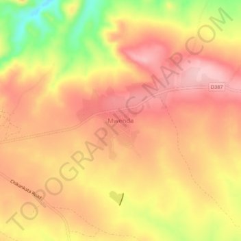
Name: Mwenda topographic map, elevation, terrain.

Location: Mwenda, Chikankata District, Southern Province, Zambia (-16.20747 28.10013 -16.16747 28.14013)

Average elevation: 1,301 m

Minimum elevation: 1,193 m

Maximum elevation: 1,358 m

Other topographic maps

Click on a map to view its topography, its elevation and its terrain.

Mbaula Area

Zambia > Southern Province

Mbaula Area, Itezhi-Tezhi District, Southern Province, Zambia

Average elevation: 1,035 m

Maramba

Zambia > Southern Province > Livingstone

Maramba, Livingstone, Livingstone District, Southern Province, Zambia

Average elevation: 958 m

Chirundu

Zambia > Southern Province

Chirundu, Chirundu District, Southern Province, Zambia

Average elevation: 406 m

Lake Kariba

Zambia > Southern Province

Lake Kariba, Southern Province, Zambia

Average elevation: 857 m

Livingstone

Zambia > Southern Province

Livingstone, Livingstone District, Southern Province, Zambia

Average elevation: 961 m

Victoria Falls

Zambia > Southern Province > Livingstone

Victoria Falls, Livingstone, Southern Province, Zambia

Average elevation: 875 m

Kazungula

Zambia > Southern Province

Kazungula, Kazungula District, Southern Province, Zambia

Average elevation: 944 m