
Al Muthanna topographic map
Interactive map
Click on the map to display elevation.
About this map
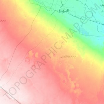
Name: Al Muthanna topographic map, elevation, terrain.
Location: Al Muthanna, Muthanna, Iraq (30.48158 44.99884 30.52158 45.03884)
Average elevation: 183 m
Minimum elevation: 169 m
Maximum elevation: 213 m
Other topographic maps
Click on a map to view its topography, its elevation and its terrain.