
前进区 topographic map
Interactive map
Click on the map to display elevation.
About this map
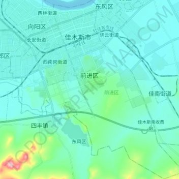
Name: 前进区 topographic map, elevation, terrain.
Location: 前进区, 佳木斯市, Heilongjiang, 154000, China (46.72817 130.35564 46.82296 130.45672)
Average elevation: 100 m
Minimum elevation: 73 m
Maximum elevation: 281 m
Other topographic maps
Click on a map to view its topography, its elevation and its terrain.
松花江
China > Heilongjiang > Harbin
松花江, 宾县, Harbin, Heilongjiang, 132011, China
Average elevation: 310 m