
沐爱镇 topographic map
Interactive map
Click on the map to display elevation.
About this map
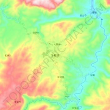
Name: 沐爱镇 topographic map, elevation, terrain.
Location: 沐爱镇, 筠连县, 宜宾市, 四川省, 中国 (28.02776 104.61424 28.10776 104.69424)
Average elevation: 644 m
Minimum elevation: 406 m
Maximum elevation: 991 m
Other topographic maps
Click on a map to view its topography, its elevation and its terrain.