
Ario topographic map
Interactive map
Click on the map to display elevation.
About this map
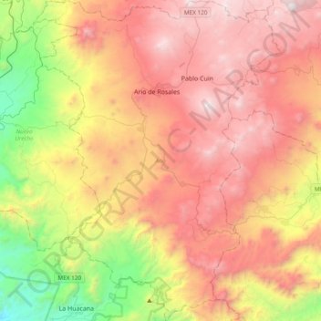
Name: Ario topographic map, elevation, terrain.
Location: Ario, Michoacán, Mexique (18.95013 -101.85539 19.30865 -101.56231)
Average elevation: 1,495 m
Minimum elevation: 281 m
Maximum elevation: 2,625 m