
Barium Springs topographic map
Interactive map
Click on the map to display elevation.
About this map
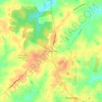
Name: Barium Springs topographic map, elevation, terrain.
Average elevation: 278 m
Minimum elevation: 246 m
Maximum elevation: 304 m
Other topographic maps
Click on a map to view its topography, its elevation and its terrain.
Lake Norman State Park
United States > North Carolina > Iredell County > Troutman
Lake Norman State Park, Troutman, Iredell County, North Carolina, 28166, United States
Average elevation: 247 m