
Vị Thanh topographic map
Interactive map
Click on the map to display elevation.
About this map
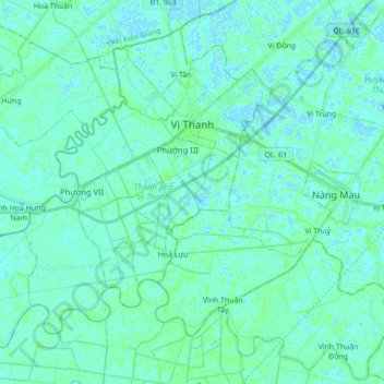
Name: Vị Thanh topographic map, elevation, terrain.
Location: Vị Thanh, Hậu Giang Province, Vietnam (9.67953 105.32852 9.82573 105.50298)
Average elevation: 2 m
Minimum elevation: -5 m
Maximum elevation: 7 m
Other topographic maps
Click on a map to view its topography, its elevation and its terrain.
Lung Ngoc Hoang Nature Reserve
Vietnam > Hậu Giang Province > Phụng Hiệp District > Phương Lạc
Average elevation: 3 m