
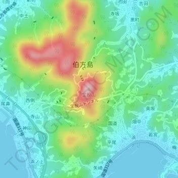
宝股山 topographic map
Interactive map
Click on the map to display elevation.
About this map
Name: 宝股山 topographic map, elevation, terrain.
Location: 宝股山, 今治市, 爱媛县, 794-2301, 日本 (34.21257 133.08698 34.21267 133.08708)
Average elevation: 79 m
Minimum elevation: 0 m
Maximum elevation: 277 m
Other topographic maps
Click on a map to view its topography, its elevation and its terrain.