
Abadín topographic map
Interactive map
Click on the map to display elevation.
About this map
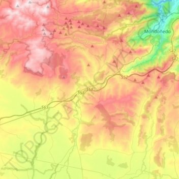
Name: Abadín topographic map, elevation, terrain.
Location: Abadín, Lugo, Galicië, Spanje (43.25371 -7.59507 43.46663 -7.37759)
Average elevation: 546 m
Minimum elevation: 59 m
Maximum elevation: 1,029 m