
Matlakeng topographic map
Interactive map
Click on the map to display elevation.
About this map
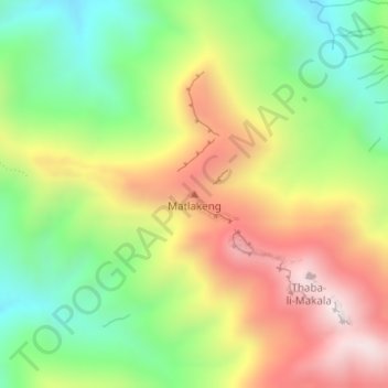
Name: Matlakeng topographic map, elevation, terrain.
Location: Matlakeng, Distrikt Butha-Buthe, Lesotho (-28.67465 28.59479 -28.67455 28.59489)
Average elevation: 2,532 m
Minimum elevation: 2,186 m
Maximum elevation: 2,947 m