
Canton Motegua topographic map
Interactive map
Click on the map to display elevation.
About this map
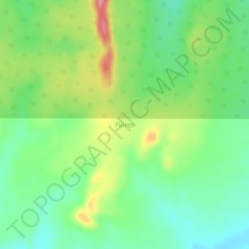
Name: Canton Motegua topographic map, elevation, terrain.
Location: Canton Motegua, Flores, Provincia de Iténez, BNI, Bolivien (-13.67362 -62.41016 -13.63362 -62.37016)
Average elevation: 212 m
Minimum elevation: 168 m
Maximum elevation: 286 m