
Rian topographic map
Interactive map
Click on the map to display elevation.
About this map
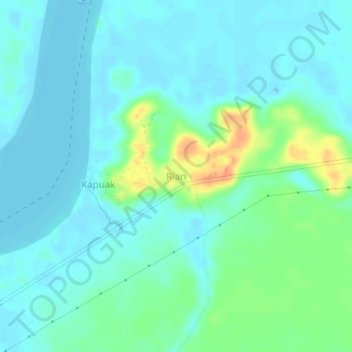
Name: Rian topographic map, elevation, terrain.
Location: Rian, Tana Tidung, Kalimantan Utara, Indonésia (3.55511 116.80197 3.59511 116.84197)
Average elevation: 11 m
Minimum elevation: 0 m
Maximum elevation: 48 m