
Tamantit topographic map
Interactive map
Click on the map to display elevation.
About this map
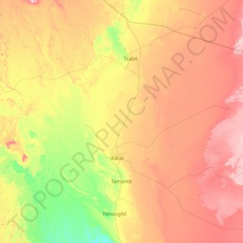
Name: Tamantit topographic map, elevation, terrain.
Location: Tamantit, Fenoughil District, Adrar, 1038, Algeria (27.61336 -0.34145 28.48116 0.97787)
Average elevation: 270 m
Minimum elevation: 181 m
Maximum elevation: 391 m