
Mora topographic map
Interactive map
Click on the map to display elevation.
About this map
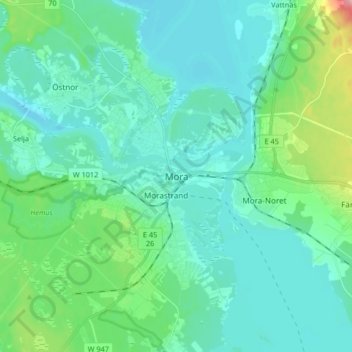
Name: Mora topographic map, elevation, terrain.
Location: Mora, Mora kommun, Dalarnas län, 79280, Zweden (60.96821 14.50313 61.04821 14.58313)
Average elevation: 177 m
Minimum elevation: 152 m
Maximum elevation: 286 m